
Pan Borneo Highway (Sabah)

Overview
The Pan Borneo Highway (Sabah) is a major road that forms part of the larger Pan Borneo network connecting Sabah and Sarawak. It is a vital link between eastern Malaysia and neighboring Brunei, supporting trade, travel, and regional connectivity.
The highway crosses the state and is managed by concessionaires under the Malaysian Public Works Department (JKR). Its upgraded sections feature modern dual-carriageways, connecting towns, cities, ports, and industrial hubs. This makes travel smoother and supports economic growth and logistics across Sabah.
Route Overview
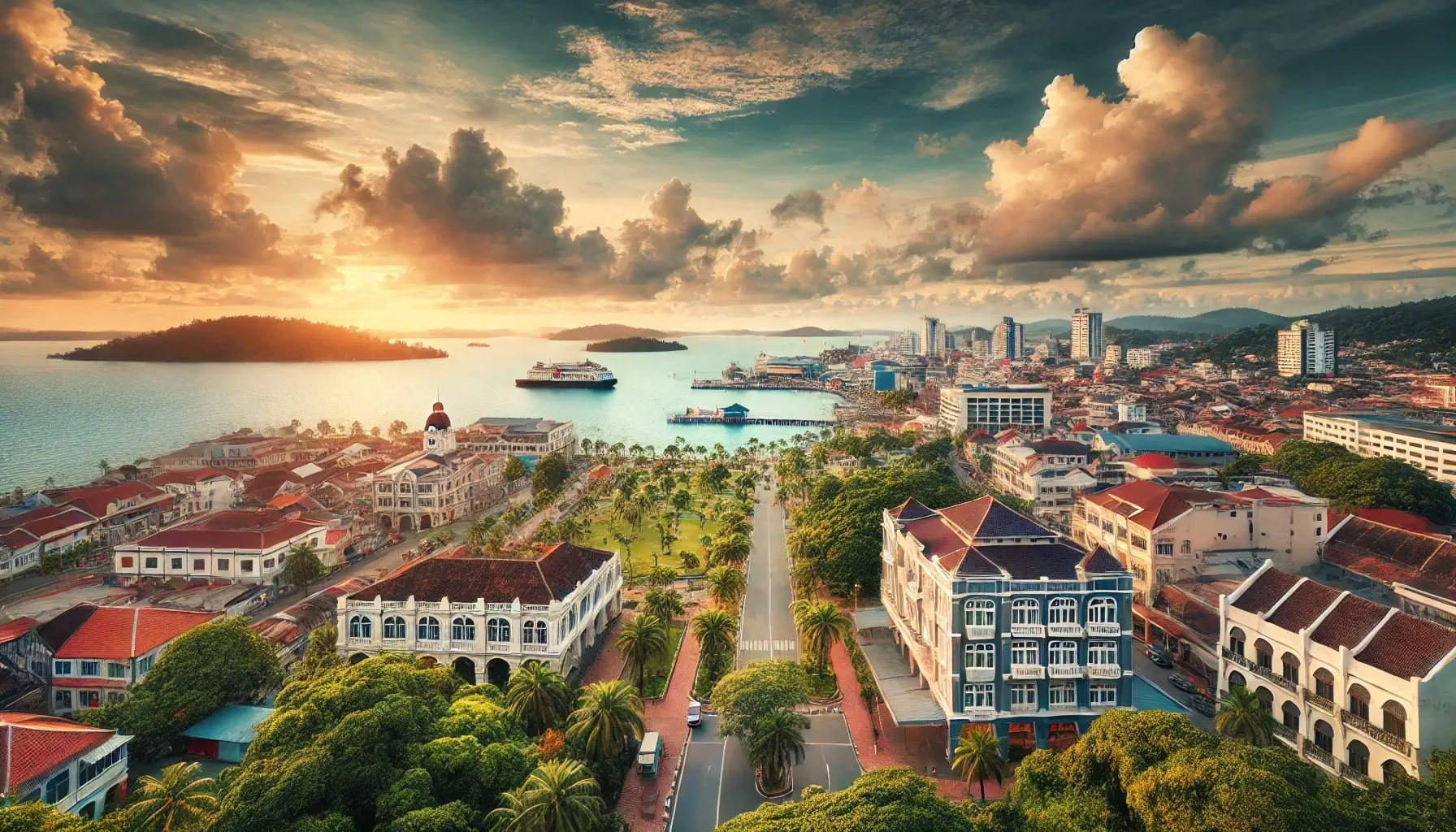
In Sabah, the Pan Borneo Highway primarily runs from east to west, beginning at Tawau on the southeast coast and ending at Kota Kinabalu on the west coast.
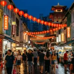
The highway is part of the Asian Highway network and includes segments of Sabah’s federal routes. Travelers will encounter major milestones such as Sandakan, a port and tourism hub, and Kinabatangan, renowned for its river and wildlife.
Key Cities and Exits
Important towns and cities along the highway include:
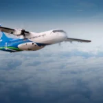
- Tawau, offering access to the airport and port
- Lahad Datu, gateway to plantations and routes toward Sandakan
- Sandakan, near the Sepilok Orangutan Rehabilitation Centre
- Kinabatangan, known for its river ecotourism
- Kota Kinabalu, connecting to the city’s port, resorts, and airport
Other notable connecting roads include Jalan Labuk-Sugut and Jalan Kota Kinabalu–Tamparuli.
Scenic Highlights
Traveling along Sabah’s Pan Borneo Highway offers a variety of scenic views:
- Coastal landscapes near Tawau and Sandakan
- Kinabatangan River, ideal for wildlife spotting
- Mount Kinabalu vistas near Kota Kinabalu
- Vast palm oil and rubber plantations
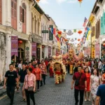
- Traditional villages and heritage towns showcasing local culture
Rest & Service Areas (R&R)
Several rest and service areas provide essential amenities for travelers:
- Tawau R&R, with food options, petrol stations, toilets, and prayer facilities
- Sandakan R&R, offering local eateries and convenience shops
- Kota Kinabalu R&R, featuring mini-markets, fast food, and shaded parking
These stops allow travelers to rest, refuel, and refresh along the journey.
Toll Information
Most of Sabah’s Pan Borneo Highway is toll-free, though certain upgraded sections may require payment.
Accepted methods for tolled sections typically include:
- Touch ‘n Go
- RFID
- SmartTAG
Safety & Facilities
The highway is equipped with various safety measures:
- Standard speed limits for dual-carriageway stretches and lower limits near towns
- Multiple lanes in upgraded areas for smoother traffic
- Patrol services by local authorities and JKR
- Emergency facilities such as breakdown lanes and call boxes
Drivers should exercise caution near wildlife habitats and during heavy rainfall.
Useful Apps & Resources
Digital tools helpful for travelers include:
- JKR Sabah Website, for updates on road conditions and construction
- Waze or Google Maps, for live navigation and traffic information
- Touch ‘n Go eWallet App, for toll payments
- Malaysia Highway Authority, for emergency assistance and road reports
Travel Tips
- Travel during cooler parts of the day to avoid traffic and heat
- Plan fuel stops in rural areas along the highway
- Slow down near wildlife-rich areas, especially along river sections
- Follow local driving etiquette, including proper lane usage and signaling
Connecting Expressways
The Pan Borneo Highway connects with several key routes:
- Federal roads linking Tawau, Lahad Datu, and Sandakan
- Rural access roads such as Jalan Labuk-Sugut
- Routes toward northern towns via Jalan Kota Kinabalu–Tamparuli
These connections provide easy access to ports, airports, and eco-tourism destinations.
Summary Table
| Feature | Details |
|---|---|
| Expressway Name | Pan Borneo Highway (Sabah) |
| Code | Asian Highway / Federal Routes |
| Operator | JKR Sabah and concessionaires |
| Start Point | Tawau |
| End Point | Kota Kinabalu |
| States Covered | Sabah |
| Speed Limit | Standard dual-carriageway limits |
| Toll Type | Mostly toll-free |

- Temperature
- Precipitation
- Rain Chance
- Wind
- Humidity
- Pressure
Conclusion
The Pan Borneo Highway in Sabah is a key infrastructure link, connecting towns, ports, and economic zones. Beyond supporting trade and logistics, it offers travelers access to stunning natural landscapes, wildlife sanctuaries, and cultural attractions. The highway enhances mobility and promotes economic development across the region.
| Road Name | Road Short Name | Code | Main Route |
|---|---|---|---|
| North–South Expressway (PLUS) | North–South Expressway | PLUS / E1, E2 | Bukit Kayu Hitam – Johor Bahru |
| North–South Expressway Central Link | ELITE Expressway | E6 | Shah Alam – Nilai North |
| New Klang Valley Expressway | NKVE | E1 | Kuala Lumpur – Klang |
| Federal Highway | Federal Highway | E5 | Kuala Lumpur – Klang |
| Damansara–Puchong Expressway | LDP | E11 | Damansara – Puchong |
| Shah Alam Expressway | KESAS | E5 | Sri Petaling – Pandamaran |
| New Pantai Expressway | NPE | E10 | Subang – Bangsar |
| Maju Expressway | MEX | E20 | Kuala Lumpur – Putrajaya |
| Kajang Dispersal Link | SILK | E18 | Kajang – Semenyih |
| Kajang–Seremban Highway | LEKAS | E21 | Kajang – Seremban |
| South Klang Valley Expressway | SKVE | E26 | Pulau Indah – Kajang |
| Guthrie Corridor Expressway | GCE | E35 | Shah Alam – Rawang |
| Kuala Lumpur–Karak Expressway | KLK | E8 | Gombak – Karak |
| East Coast Expressway Phase 1 | LPT1 | E8 | Karak – Kuantan |
| East Coast Expressway Phase 2 | LPT2 | E8 | Kuantan – Kuala Nerus |
| Butterworth–Kulim Expressway | BKE | E15 | Butterworth – Kulim |
| Penang Bridge | Penang Bridge | E36 | Gelugor – Perai |
| Sultan Abdul Halim Muadzam Shah Bridge | Second Penang Bridge | E28 | Batu Maung – Batu Kawan |
| Johor Bahru Eastern Dispersal Link | EDL | E14 | Pandan – CIQ Johor |
| Senai–Desaru Expressway | SDE | E22 | Senai – Desaru |
| Second Link Expressway | Linkedua | E3 | Senai – Tuas (Singapore) |
| Kuala Lumpur–Seremban Expressway | KL–Seremban | E37 | Kuala Lumpur – Seremban |
| Cheras–Kajang Expressway | Grand Saga | E7 | Cheras – Kajang |
| Kuala Lumpur–Putrajaya Expressway | MEX | E20 | KL – Putrajaya – KLIA |
| West Coast Expressway | WCE | E32 | Taiping – Banting |
| Central Spine Road | CSR | – | Bentong – Kuala Krai |
| Federal Route 1 | Federal Route 1 | FT1 | Bukit Kayu Hitam – Johor Bahru |
| Federal Route 2 | Federal Route 2 | FT2 | Port Klang – Kuantan |
| Federal Route 3 | Federal Route 3 | FT3 | Johor Bahru – Rantau Panjang |
| Federal Route 4 | Federal Route 4 | FT4 | Gerik – Jeli |
| Federal Route 5 | Federal Route 5 | FT5 | Ipoh – Johor Bahru |
| Federal Route 8 | Federal Route 8 | FT8 | Kuala Lumpur – Kota Bharu |
| Federal Route 9 | Federal Route 9 | FT9 | Karak – Tampin |
| Federal Route 10 | Federal Route 10 | FT10 | Temerloh – Gemas |
| Federal Route 24 | Federal Route 24 | FT24 | Muar – Yong Peng |
| Federal Route 50 | Federal Route 50 | FT50 | Batu Pahat – Kluang – Jemaluang |
| Federal Route 51 | Federal Route 51 | FT51 | Melaka City – Alor Gajah |
| Federal Route 54 | Federal Route 54 | FT54 | Kuala Lumpur – Kuala Selangor |
| Federal Route 76 | Federal Route 76 | FT76 | Kuala Kangsar – Baling – Kulim |
| Federal Route 67 | Federal Route 67 | FT67 | Sungai Petani – Kuala Ketil |
| Pan Borneo Highway (Sabah) | Pan Borneo Sabah | AH150 / PBHS | Kota Kinabalu – Tawau |
| Kimanis–Keningau Highway | Kimanis–Keningau Road | – | Kimanis – Keningau |
| Kota Belud–Ranau Road | Kota Belud–Ranau | – | Coastal – Interior link |
| Pan Borneo Highway (Sarawak) | Pan Borneo Sarawak | AH150 / PBHS | Telok Melano – Miri |
| Kuching–Serian Road | Kuching–Serian | – | Kuching – Serian |
| Bintulu–Miri Coastal Road | Bintulu–Miri Coastal | – | Bintulu – Miri |
| Kota Bharu–Kuala Krai Expressway | KBKK Expressway | KBKK | Kota Bharu – Kuala Krai |
| Pan Borneo Highway (Overall) | Pan Borneo Highway | PBH | Across Sabah & Sarawak |

Comments are closed.