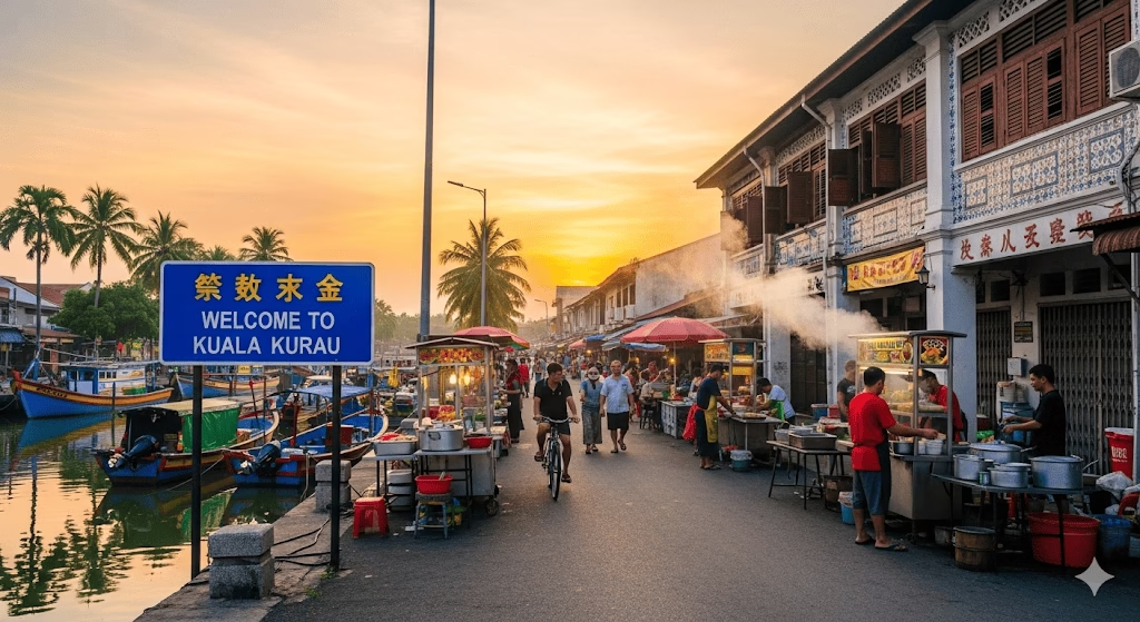
Kota Belud–Ranau Road

Overview
The Kota Belud–Ranau Road is a vital federal route in Sabah, Malaysia, connecting the coastal town of Kota Belud to the inland highland district of Ranau. Spanning approximately 130 km, this road serves as an important corridor for both local travel and tourism, linking rural communities, agricultural regions, and key tourist attractions. Completed in the 1990s, the road is maintained by the Sabah Public Works Department (JKR Sabah) and plays a crucial role in supporting trade, tourism, and logistics in northern Sabah. Its scenic route through rolling hills and fertile valleys makes it popular among travelers seeking both efficiency and picturesque views.
Route Overview
The Kota Belud–Ranau Road runs in a roughly west-to-east direction, beginning at Kota Belud, which lies near the northern coast of Sabah, and terminating in Ranau, in the interior highlands. The road is designated as Federal Route 500, providing a direct link between the west coast and the interior regions. Along the way, it traverses several small towns and villages, offering connections to other local and regional roads that facilitate access to Mount Kinabalu, Kundasang, and nearby agricultural zones.
Key Cities and Exits
Travelers along the Kota Belud–Ranau Road can expect to encounter the following notable towns and interchanges:
- Kota Belud – Starting point; connects to the Kota Kinabalu–Kudat Highway.
- Tempasuk – Local junction providing access to nearby fishing villages.
- Tambulion – Midway point with a small rest stop and local eateries.
- Pitas – Agricultural hub with connections to interior plantations.
- Ranau – Endpoint; gateway to Kundasang, Mount Kinabalu National Park, and other highland attractions.
These towns serve as convenient stops for fuel, food, and local attractions, making the drive both practical and scenic.
Scenic Highlights
The Kota Belud–Ranau Road is renowned for its stunning scenery:
- Rolling Hills & Paddy Fields – The route passes through lush agricultural landscapes that are particularly scenic during planting and harvest seasons.
- Mount Kinabalu Views – Approaching Ranau, travelers are treated to distant vistas of Mount Kinabalu, especially during clear mornings.
- Rural Villages & Plantations – Visitors can glimpse traditional villages, spice farms, and vegetable plantations that dot the countryside, offering a unique cultural experience.
- River Crossings – Several rivers and streams intersect the route, providing picturesque photo opportunities.
Rest & Service Areas (R&R)
Although smaller than major expressways, the Kota Belud–Ranau Road features a few notable rest stops:
- Tambulion Rest Stop – Offers basic amenities, including food stalls, clean toilets, and shaded areas.
- Local Petrol Stations – Scattered along the route, these stations provide fuel, convenience stores, and prayer rooms.
- Scenic Viewpoints – Certain elevated sections near Ranau provide informal rest areas where travelers can enjoy panoramic views of valleys and mountains.
Toll Information
The Kota Belud–Ranau Road is a toll-free federal route, making it accessible to all drivers without additional charges. Travelers should note that while there are no tolls, services such as fuel stations and local eateries are available for a fee.
Safety & Facilities
Safety along the Kota Belud–Ranau Road is supported by several measures:
- Speed Limits – Standard rural highway limits in Sabah are enforced, typically between 80–90 km/h for open stretches, with reduced limits in towns.
- Lane Details – The road primarily consists of a two-lane single carriageway, with occasional passing lanes on steeper gradients.
- Emergency Services – Roadside assistance can be reached via local hotlines or the JKR Sabah emergency line.
- Road Conditions – The route is generally well-maintained but can be affected by heavy rain or landslides in higher elevations.
Useful Apps & Resources
Travelers are encouraged to use the following resources:
- Waze & Google Maps – For real-time navigation and traffic updates.
- Sabah Public Works Department Website – For official notices regarding road closures or maintenance.
- Sabah Traffic Police App – To report incidents or receive traffic alerts.
Travel Tips
- Best Time to Travel: Early mornings for clear views of Mount Kinabalu; avoid heavy monsoon periods.
- Driving Etiquette: Keep left, signal early, and respect local traffic laws.
- Preparation: Carry sufficient fuel, water, and snacks, as service stations are sparse in certain stretches.
- Tourist Access: Make stops at local villages or viewpoints to fully enjoy the scenic drive.
Connecting Expressways
The Kota Belud–Ranau Road connects to several key routes:
- Kota Kinabalu–Kudat Highway (Route 1) – Provides access to Kota Kinabalu and northern coastal regions.
- Ranau–Kundasang Link Road – A short route connecting travelers to the highland town of Kundasang and Mount Kinabalu National Park.
- Interior Agricultural Roads – Smaller rural roads link plantations and villages along the route.
Summary Table
| Feature | Details |
|---|---|
| Expressway Name | Kota Belud–Ranau Road |
| Code | Federal Route 500 |
| Total Length | Approximately 130 km |
| Operator | JKR Sabah (Public Works Department) |
| Start & End Points | Kota Belud → Ranau |
| States Covered | Sabah |
| Average Speed Limit | 80–90 km/h |
| Toll Type | Toll-free |
Conclusion
The Kota Belud–Ranau Road is more than just a transportation route; it is a vital lifeline connecting coastal and highland communities in Sabah. By facilitating trade, tourism, and local travel, it plays an essential role in the region’s economic and social development. Its scenic landscapes, access to iconic destinations like Mount Kinabalu, and cultural experiences along the route make it a memorable drive for locals and tourists alike. This road exemplifies Sabah’s balance of connectivity and natural beauty, offering both practical transport solutions and a rewarding travel experience.
| Road Name | Road Short Name | Code | Main Route |
|---|---|---|---|
| North–South Expressway (PLUS) | North–South Expressway | PLUS / E1, E2 | Bukit Kayu Hitam – Johor Bahru |
| North–South Expressway Central Link | ELITE Expressway | E6 | Shah Alam – Nilai North |
| New Klang Valley Expressway | NKVE | E1 | Kuala Lumpur – Klang |
| Federal Highway | Federal Highway | E5 | Kuala Lumpur – Klang |
| Damansara–Puchong Expressway | LDP | E11 | Damansara – Puchong |
| Shah Alam Expressway | KESAS | E5 | Sri Petaling – Pandamaran |
| New Pantai Expressway | NPE | E10 | Subang – Bangsar |
| Maju Expressway | MEX | E20 | Kuala Lumpur – Putrajaya |
| Kajang Dispersal Link | SILK | E18 | Kajang – Semenyih |
| Kajang–Seremban Highway | LEKAS | E21 | Kajang – Seremban |
| South Klang Valley Expressway | SKVE | E26 | Pulau Indah – Kajang |
| Guthrie Corridor Expressway | GCE | E35 | Shah Alam – Rawang |
| Kuala Lumpur–Karak Expressway | KLK | E8 | Gombak – Karak |
| East Coast Expressway Phase 1 | LPT1 | E8 | Karak – Kuantan |
| East Coast Expressway Phase 2 | LPT2 | E8 | Kuantan – Kuala Nerus |
| Butterworth–Kulim Expressway | BKE | E15 | Butterworth – Kulim |
| Penang Bridge | Penang Bridge | E36 | Gelugor – Perai |
| Sultan Abdul Halim Muadzam Shah Bridge | Second Penang Bridge | E28 | Batu Maung – Batu Kawan |
| Johor Bahru Eastern Dispersal Link | EDL | E14 | Pandan – CIQ Johor |
| Senai–Desaru Expressway | SDE | E22 | Senai – Desaru |
| Second Link Expressway | Linkedua | E3 | Senai – Tuas (Singapore) |
| Kuala Lumpur–Seremban Expressway | KL–Seremban | E37 | Kuala Lumpur – Seremban |
| Cheras–Kajang Expressway | Grand Saga | E7 | Cheras – Kajang |
| Kuala Lumpur–Putrajaya Expressway | MEX | E20 | KL – Putrajaya – KLIA |
| West Coast Expressway | WCE | E32 | Taiping – Banting |
| Central Spine Road | CSR | – | Bentong – Kuala Krai |
| Federal Route 1 | Federal Route 1 | FT1 | Bukit Kayu Hitam – Johor Bahru |
| Federal Route 2 | Federal Route 2 | FT2 | Port Klang – Kuantan |
| Federal Route 3 | Federal Route 3 | FT3 | Johor Bahru – Rantau Panjang |
| Federal Route 4 | Federal Route 4 | FT4 | Gerik – Jeli |
| Federal Route 5 | Federal Route 5 | FT5 | Ipoh – Johor Bahru |
| Federal Route 8 | Federal Route 8 | FT8 | Kuala Lumpur – Kota Bharu |
| Federal Route 9 | Federal Route 9 | FT9 | Karak – Tampin |
| Federal Route 10 | Federal Route 10 | FT10 | Temerloh – Gemas |
| Federal Route 24 | Federal Route 24 | FT24 | Muar – Yong Peng |
| Federal Route 50 | Federal Route 50 | FT50 | Batu Pahat – Kluang – Jemaluang |
| Federal Route 51 | Federal Route 51 | FT51 | Melaka City – Alor Gajah |
| Federal Route 54 | Federal Route 54 | FT54 | Kuala Lumpur – Kuala Selangor |
| Federal Route 76 | Federal Route 76 | FT76 | Kuala Kangsar – Baling – Kulim |
| Federal Route 67 | Federal Route 67 | FT67 | Sungai Petani – Kuala Ketil |
| Pan Borneo Highway (Sabah) | Pan Borneo Sabah | AH150 / PBHS | Kota Kinabalu – Tawau |
| Kimanis–Keningau Highway | Kimanis–Keningau Road | – | Kimanis – Keningau |
| Kota Belud–Ranau Road | Kota Belud–Ranau | – | Coastal – Interior link |
| Pan Borneo Highway (Sarawak) | Pan Borneo Sarawak | AH150 / PBHS | Telok Melano – Miri |
| Kuching–Serian Road | Kuching–Serian | – | Kuching – Serian |
| Bintulu–Miri Coastal Road | Bintulu–Miri Coastal | – | Bintulu – Miri |
| Kota Bharu–Kuala Krai Expressway | KBKK Expressway | KBKK | Kota Bharu – Kuala Krai |
| Pan Borneo Highway (Overall) | Pan Borneo Highway | PBH | Across Sabah & Sarawak |


Comments are closed.