Central Spine Road

Overview
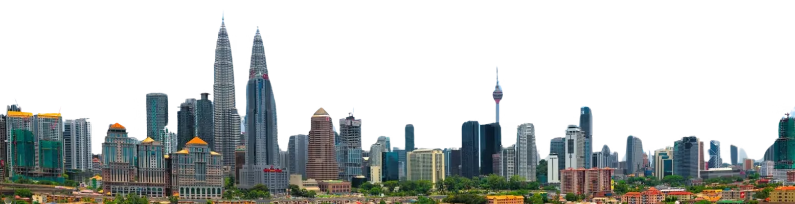
The Central Spine Road (CSR) is a major highway in Peninsular Malaysia that connects the northern and southern regions through a central inland route. It was developed to ease congestion on the North–South Expressway and provide a safer, faster alternative through the central states. Operated by UEM Group Berhad, the CSR plays a key role in regional trade, tourism, and logistics by linking major towns, industrial hubs, and agricultural areas across Pahang, Perak, Kelantan, and Terengganu.
Route Overview
The Central Spine Road primarily runs in a north–south direction, forming an inland parallel to the coastal North–South Expressway. It connects Gua Musang in the north to Tampin in the south, intersecting several state roads and federal highways along the way. The highway provides access to rural communities while serving as a strategic corridor for passenger and cargo transport. Travelers will pass through highlands, valleys, and forested regions, enjoying both functional and scenic value.
Key Cities and Exits
Key interchanges and exit points along the CSR include:
- Gua Musang, Kelantan – Northern entry point with connections to local roads
- Kuala Lipis, Pahang – Gateway to nearby highlands
- Jerantut, Pahang – Access to Taman Negara National Park
- Temerloh, Pahang – Junction to regional federal routes
- Raub, Pahang – Access to Fraser’s Hill and plantation areas
- Tampin, Negeri Sembilan – Southern connection to major expressways
Scenic Highlights
The CSR offers impressive natural scenery:
- Forested foothills of Taman Negara
- Rolling palm oil and rubber plantations
- Colonial architecture glimpses in Kuala Lipis old town
- Scenic river crossings and valleys in Temerloh and Raub
This makes the route ideal for travelers seeking both practical transport and natural beauty.
Rest & Service Areas (R&R)
Along the CSR, travelers can find several rest stops offering basic amenities:
- Temerloh R&R – Petrol stations, food courts, toilets, and prayer rooms
- Raub R&R – Snack kiosks, parking, and rest facilities
- Jerantut R&R – Limited dining, parking, and scenic stops
Some areas offer photo opportunities overlooking rivers and plantations.
Toll Information
The CSR uses a combination of toll-free sections and closed toll systems in certain stretches. Accepted payments include:
- Touch ‘n Go cards
- RFID payments
- SmartTAG devices
Note: Toll charges vary depending on the route and vehicle type.
Safety & Facilities
Safety measures along the CSR include:
- Standard speed limits suitable for highway conditions
- Multiple lanes with dedicated emergency lanes in key stretches
- Highway patrol services (CSR Ronda)
- Emergency hotlines for assistance and breakdown support
Breakdown bays and surveillance cameras are placed throughout the route for safety.
Useful Apps & Resources
Travelers can use several tools for navigation and updates:
- PLUS Mobile app for toll and route information
- Google Maps and Waze for real-time navigation
- Malaysian Highway Authority website for CSR news
- Local emergency hotlines for roadside assistance
Travel Tips
- Travel during early morning or late afternoon to avoid town congestion
- Stay in the right lane if driving slower than highway speeds
- Fuel up before entering remote sections
- Plan stops for sightseeing or nature breaks along scenic areas
Connecting Expressways
The CSR links to major routes including:
- North–South Expressway at the southern terminus
- East Coast Expressway via regional junctions
- Federal routes connecting northern and eastern towns
- Secondary state roads leading to highlands and coastal destinations
Summary Table
| Expressway Name | Code | Operator | Start & End Points | States Covered | Toll Type |
|---|---|---|---|---|---|
| Central Spine Road | CSR | UEM Group Berhad | Gua Musang – Tampin | Kelantan, Pahang, Negeri Sembilan | Open/Closed |
Conclusion
The Central Spine Road is an essential inland corridor enhancing Malaysia’s connectivity. It provides a reliable alternative to coastal highways, supports trade and logistics, and opens access to natural and cultural attractions. Its scenic routes and growing infrastructure make it a practical and enjoyable choice for commuters, travelers, and tourists exploring Peninsular Malaysia.
| Road Name | Road Short Name | Code | Main Route |
|---|---|---|---|
| North–South Expressway (PLUS) | North–South Expressway | PLUS / E1, E2 | Bukit Kayu Hitam – Johor Bahru |
| North–South Expressway Central Link | ELITE Expressway | E6 | Shah Alam – Nilai North |
| New Klang Valley Expressway | NKVE | E1 | Kuala Lumpur – Klang |
| Federal Highway | Federal Highway | E5 | Kuala Lumpur – Klang |
| Damansara–Puchong Expressway | LDP | E11 | Damansara – Puchong |
| Shah Alam Expressway | KESAS | E5 | Sri Petaling – Pandamaran |
| New Pantai Expressway | NPE | E10 | Subang – Bangsar |
| Maju Expressway | MEX | E20 | Kuala Lumpur – Putrajaya |
| Kajang Dispersal Link | SILK | E18 | Kajang – Semenyih |
| Kajang–Seremban Highway | LEKAS | E21 | Kajang – Seremban |
| South Klang Valley Expressway | SKVE | E26 | Pulau Indah – Kajang |
| Guthrie Corridor Expressway | GCE | E35 | Shah Alam – Rawang |
| Kuala Lumpur–Karak Expressway | KLK | E8 | Gombak – Karak |
| East Coast Expressway Phase 1 | LPT1 | E8 | Karak – Kuantan |
| East Coast Expressway Phase 2 | LPT2 | E8 | Kuantan – Kuala Nerus |
| Butterworth–Kulim Expressway | BKE | E15 | Butterworth – Kulim |
| Penang Bridge | Penang Bridge | E36 | Gelugor – Perai |
| Sultan Abdul Halim Muadzam Shah Bridge | Second Penang Bridge | E28 | Batu Maung – Batu Kawan |
| Johor Bahru Eastern Dispersal Link | EDL | E14 | Pandan – CIQ Johor |
| Senai–Desaru Expressway | SDE | E22 | Senai – Desaru |
| Second Link Expressway | Linkedua | E3 | Senai – Tuas (Singapore) |
| Kuala Lumpur–Seremban Expressway | KL–Seremban | E37 | Kuala Lumpur – Seremban |
| Cheras–Kajang Expressway | Grand Saga | E7 | Cheras – Kajang |
| Kuala Lumpur–Putrajaya Expressway | MEX | E20 | KL – Putrajaya – KLIA |
| West Coast Expressway | WCE | E32 | Taiping – Banting |
| Central Spine Road | CSR | – | Bentong – Kuala Krai |
| Federal Route 1 | Federal Route 1 | FT1 | Bukit Kayu Hitam – Johor Bahru |
| Federal Route 2 | Federal Route 2 | FT2 | Port Klang – Kuantan |
| Federal Route 3 | Federal Route 3 | FT3 | Johor Bahru – Rantau Panjang |
| Federal Route 4 | Federal Route 4 | FT4 | Gerik – Jeli |
| Federal Route 5 | Federal Route 5 | FT5 | Ipoh – Johor Bahru |
| Federal Route 8 | Federal Route 8 | FT8 | Kuala Lumpur – Kota Bharu |
| Federal Route 9 | Federal Route 9 | FT9 | Karak – Tampin |
| Federal Route 10 | Federal Route 10 | FT10 | Temerloh – Gemas |
| Federal Route 24 | Federal Route 24 | FT24 | Muar – Yong Peng |
| Federal Route 50 | Federal Route 50 | FT50 | Batu Pahat – Kluang – Jemaluang |
| Federal Route 51 | Federal Route 51 | FT51 | Melaka City – Alor Gajah |
| Federal Route 54 | Federal Route 54 | FT54 | Kuala Lumpur – Kuala Selangor |
| Federal Route 76 | Federal Route 76 | FT76 | Kuala Kangsar – Baling – Kulim |
| Federal Route 67 | Federal Route 67 | FT67 | Sungai Petani – Kuala Ketil |
| Pan Borneo Highway (Sabah) | Pan Borneo Sabah | AH150 / PBHS | Kota Kinabalu – Tawau |
| Kimanis–Keningau Highway | Kimanis–Keningau Road | – | Kimanis – Keningau |
| Kota Belud–Ranau Road | Kota Belud–Ranau | – | Coastal – Interior link |
| Pan Borneo Highway (Sarawak) | Pan Borneo Sarawak | AH150 / PBHS | Telok Melano – Miri |
| Kuching–Serian Road | Kuching–Serian | – | Kuching – Serian |
| Bintulu–Miri Coastal Road | Bintulu–Miri Coastal | – | Bintulu – Miri |
| Kota Bharu–Kuala Krai Expressway | KBKK Expressway | KBKK | Kota Bharu – Kuala Krai |
| Pan Borneo Highway (Overall) | Pan Borneo Highway | PBH | Across Sabah & Sarawak |


Comments are closed.